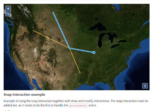
Introducing feature snapping in ol3!
OL3 (OpenLayers 3) v3.5.0 is out. With it comes the addition of snapping while editing vector features!

OL3 (OpenLayers 3) v3.5.0 is out. With it comes the addition of snapping while editing vector features!

The GeoHack Challenge 2013 by Julien-Samuel Lacroix of Mapgears and coordinated by Simon Duchaine of MRB & associates.

A web mapping application demo of Matane city.

The web mapping application mockup that Mapgears and its partners SiGéO and SCSI proposed to the city of Noumea, New Caledonia.

Quebec Health Sector annual budget, dept service and other sectors

Monitor outdoor events staff using an interactive webmapping application
Visualize geospatial data in three different ways in the same application: in a map, a grid and a chart.

Simple Backbone application, which is data-drived by postgis layers. The application shows the layer features on a map and all its attributes in a table. It use pagination to navigate through features.

Greenhouse gas emission application.

Modify vector features on an interactive map using a rich and easy to configure editing tool

Quickly vizualize weather information by specific sites

Edit vector features in an interactive map directly from your browser.
